GC2
Integrate, manage, visualise, and analyze all of your enterprise geospatial data.
Applications
On the front-end, GC2 provides a suite of integrated tools for viewing, searching, analyzing, publishing, sharing and printing your your geospatial data.

Vidi
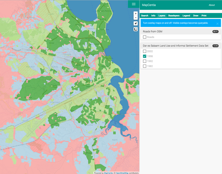
Vidi is a responsive HTML5 application for displaying and querying maps from GC2. The Viewer reads from GC2's Meta API and renders a modern map browser with layers from specified PostGreSQL schemas. Features include: Advanced query with buffer, redlining tools and print to PDF. Vidi has an extension mechanism that allows you to write plug-in modules. Vidi is not built into GC2 and requires additional installation of software. Try it live.

Widget
The Widget is a highly configurable map viewer for embeding in web-sites and apps. The Widget has some built-in basic functionality like baselayer/overlay switcher, legend and click-for-info. It can be extented endlessly through the JavaScript API with access to the native Leaflet object. The Widget is built into GC2. See some examples.

Collector
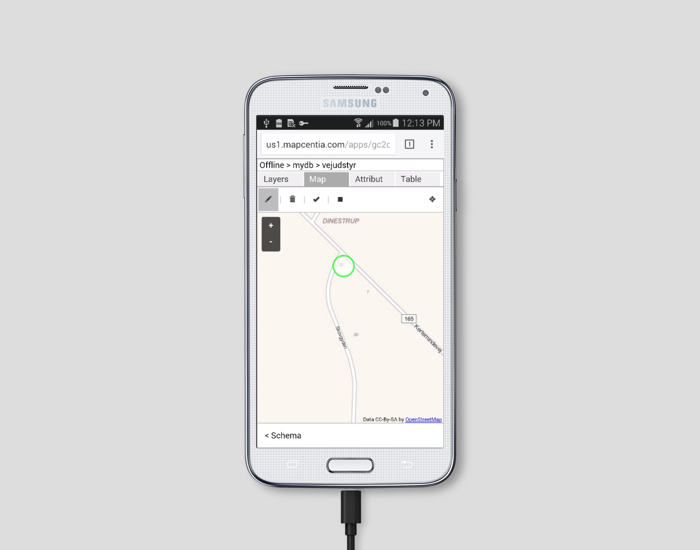
The mobile web-app GC2Collector can be used for collecting survey data in the field. The app can run offline with the ability to sync up data with GC2 later. It runs on all mobile platforms – IOS, Android and Windows Phone. The app plugs transparent into GC2 Workflow, making it very powerful for managing a field survey team. Collector is not built into GC2 and requires additional installation of software.

Kibana
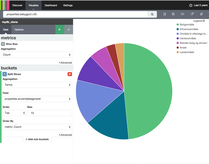
Kibana is an analytics and visualization platform. Use Kibana to search, view, and interact with data stored in GC2. Its easy to perform advanced data analysis and visualize data in a variety of charts, tables, and maps. Kibana makes it easy to understand large volumes of data. Its simple, browser-based interface enables you to quickly create and share dynamic dashboards that display changes to Elasticsearch queries in real time.

Scheduler
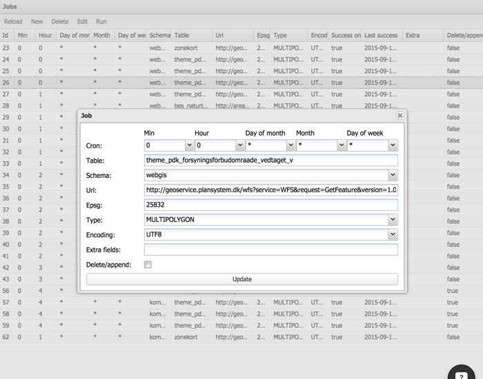
The Scheduler is a browser/server application for importing remotely stored data. It can be set to run an import job periodically at a specific date/time or at a interval – like every first day of the month at midnight or every 30 minutes. The Scheduler can import from sources like WFS and ESRI Rest services and creates report logs for the every single job. The Scheduler is built into GC2.


